


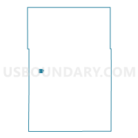
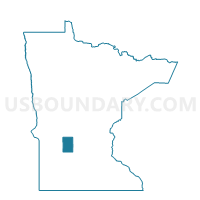
Pennock Voting District, Kandiyohi County, Minnesota
About
Outline

Summary
| Unique Area Identifier | 602736 |
| Name | Pennock Voting District |
| County | Kandiyohi County |
| State | Minnesota |
| Area (square miles) | 1.06 |
| Land Area (square miles) | 1.06 |
| Water Area (square miles) | 0.00 |
| % of Land Area | 100.00 |
| % of Water Area | 0.00 |
| Latitude of the Internal Point | 45.14585710 |
| Longtitude of the Internal Point | -95.17470780 |
Maps

Graphs
Select a template below for downloading or customizing gragh for Pennock Voting District, Kandiyohi County, Minnesota


Neighbors
Neighoring Voting District (by Name) Neighboring Voting District on the Map
- Mamre Twp. Voting District, Kandiyohi County, MN
- St. Johns Twp. Voting District, Kandiyohi County, MN
Top 10 Neighboring County Subdivision (by Population) Neighboring County Subdivision on the Map
- Pennock city, Kandiyohi County, MN (508)
- St. Johns township, Kandiyohi County, MN (411)
- Mamre township, Kandiyohi County, MN (385)